Biomass monitoring from satellite: traditional and new techniques
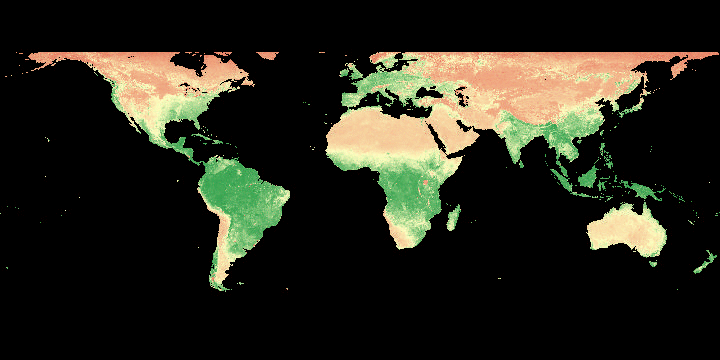
Biomass monitoring is of paramount importance to support decision making at local to global scale. High resolution biomass monitoring capabilities make use of both active and passive satellite sensors. Applications span from agriculture monitoring with dense time series of high resolution satellite data (combining e.g. Sentinel-2 with Landsat) to optical and microwave active sensors (lidar, SAR) to identify vegetation height and vegetation volume with metric and sub-metric resolution. SISTEMA provides services for agriculture an forestry managers to enable real time monitoring of vegetation tenure down to the single field / single tree.
International cooperation: MAAP
Besides local monitoring, there is a need of independent tools to assess biomass changes at global scale to support on-going and future international initiatives such as the Global Stocktake of the Paris Agreement. SISTEMA, being part of the MAAP team, provides a wide set of tools to access and exploit past, on-going and future satellite-based products for biomass content assessment. The scopes of the MAAP platform is “to become the official UNFCCC biomass reporting tool”.
Estimation of greenhouse gases fluxes is the key of global reporting: within MUSE we demonstrate how to combine biomass changes and greenhouse gases emissions for fluxes estimation purposes